

Quick answer
A berlin walking tour map pdf provides turn-by-turn routes through Berlin's key districts, typically covering 5 to 12 kilometres per itinerary and highlighting landmarks such as the Brandenburg Gate, Reichstag, East Side Gallery and Museum Island. Most downloadable guides include street names, U-Bahn and S-Bahn station markers, and optional detours to cafés or viewpoints. The maps are designed for offline use, allowing you to navigate without mobile data while exploring public streets and squares at your own pace.
More than 440 kilometres of pedestrian pathways thread through Berlin, connecting monument sites, riverfront promenades and neighbourhood squares that remain open around the clock. A berlin walking tour map pdf serves as a portable reference for these routes, pre-plotting distances and waypoints so you can move efficiently between the Reichstag dome, the Memorial to the Murdered Jews of Europe, Checkpoint Charlie and the Spree riverbanks without consulting live mapping apps. Most printable Berlin walk guides organise routes by theme or district. A Mitte itinerary might trace Unter den Linden from the Brandenburg Gate to Museum Island, a 3.2-kilometre corridor that passes the State Opera, Bebelplatz and the reconstructed Stadtschloss. A Kreuzberg route often includes the East Side Gallery's 1.3-kilometre stretch of preserved Wall murals, the Turkish Market on Maybachufer, and the hilltop panorama at Viktoriapark. Each map annotates public transport stops, allowing you to extend or shorten the walk depending on stamina and weather. Downloadable guides typically mark accessibility details such as cobblestone sections near the Nikolaiviertel, pedestrian-only zones around Gendarmenmarkt, and stair-free paths along the Landwehrkanal. Some PDFs overlay historical context—pre-1989 Wall coordinates, Cold War-era checkpoints, or 18th-century Prussian architecture—turning navigation into a layered reading of the city's spatial history. Arriving between 09:00 and 12:00 ensures softer light for photography and fewer crowds at open-air sites like the Soviet War Memorial in Treptower Park. The official Visit Berlin portal offers curated berlin walking tour map pdf downloads covering thematic walks such as Bauhaus modernism, Jewish heritage, or the 1936 Olympic grounds. These routes range from compact 90-minute loops to full-day 15-kilometre circuits, each calibrated to public pavement and free-access landmarks. Because Berlin's streets and plazas carry no entrance fee, a printed map becomes the only essential tool for a self-directed traverse of the capital's layered urban fabric.
“More than 440 kilometres of pedestrian pathways thread through Berlin, connecting monument sites, riverfront promenades and neighbourhood squares that remain open around the clock.”
Planning Your Berlin Walking Tour Map PDF Itinerary
This half-day route covers Berlin's central landmarks in a logical loop, suitable for first-time visitors who prefer a printed map over navigation apps. Expect 4–5 hours including brief stops and photo breaks.
Brandenburg Gate Start
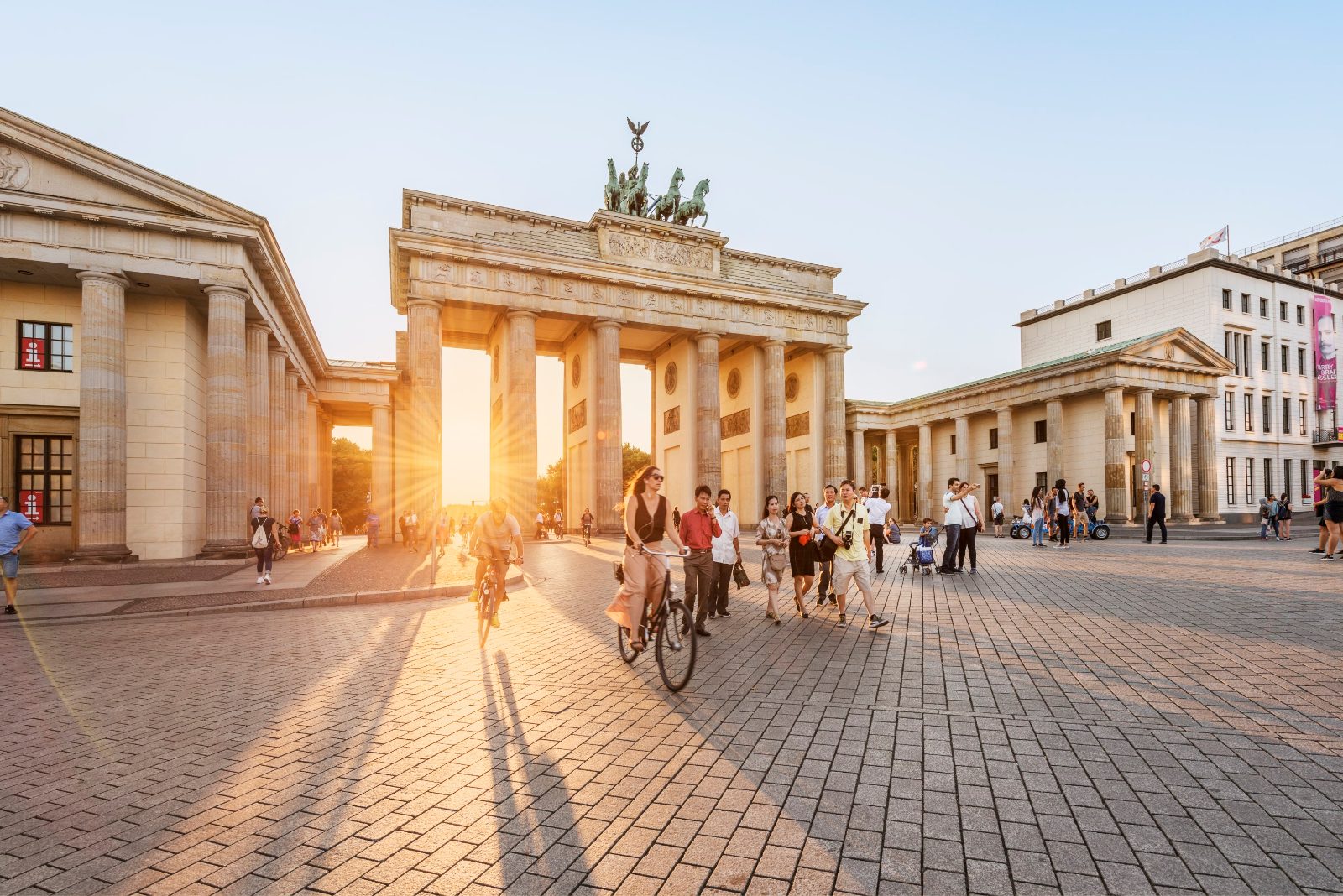
Begin at Pariser Platz with the neoclassical gate—arrive early to avoid tour-group congestion. Spend 15 minutes here before heading east.
Reichstag & Government Quarter
Walk north to view the glass dome exterior and surrounding federal buildings; allocate 20 minutes if not entering. Continue east along Unter den Linden.
Museum Island Perimeter
Pass the Berliner Dom and UNESCO-listed museum complex—note architectural details without entering. This segment takes 25 minutes at a steady pace.
Alexanderplatz & TV Tower
Cross into the historic square; photograph the Fernsehturm and Weltzeituhr clock. Allow 30 minutes for the area before moving southwest.
Gendarmenmarkt Detour
Veer south to this symmetric square flanked by the French and German Cathedrals; 20 minutes covers the plaza. Return northwest toward Checkpoint Charlie.
Checkpoint Charlie & Wall Remnants
View the replica guardhouse and open-air photo exhibition panels; 25 minutes suffices. Head west to your final stop.
Potsdamer Platz Finish
End at the modern piazza rebuilt after reunification—Sony Center and DB Tower mark the route's conclusion. Review your map to identify any missed side streets for next time.
Entrance Fees for Your Berlin Walking Tour Map PDF Route
While self-guided walking tours of public city spaces in Berlin are free, total costs depend on whether you choose to enter specific museums or historic landmarks along your route. Please note that individual venues set their own admission policies independently of your walking map.
A typical adult pays 0 EUR for the walking tour itself, though this amount increases if you purchase individual admission tickets for interior sites.
Berlin Walking Tour Map PDF Accessibility and Hours
Public city spaces featured in the Berlin walking tour map are accessible at all hours, allowing for complete flexibility in planning your route. Please note that individual interior sites, museums, or businesses along the path operate on their own distinct schedules.
| Monday | 00:00–23:59 | |
|---|---|---|
| Tuesday | 00:00–23:59 | |
| Wednesday | 00:00–23:59 | |
| Thursday | 00:00–23:59 | |
| Friday | 00:00–23:59 | |
| Saturday | 00:00–23:59 | |
| Sunday | 00:00–23:59 |
Preparation Checklist for Your Berlin Walking Tour Map PDF
A few simple steps will help you make the most of your self-guided walking tour through Berlin's historic streets and landmarks.
-
Download your PDF map offline — Cellular coverage can be patchy in certain districts and underground stations.
-
Wear comfortable walking shoes — Berlin's routes often cover several kilometers across cobblestone streets and uneven pavements.
-
Bring a refillable water bottle — Public fountains are available, and staying hydrated matters on longer routes.
-
Check weather and dress in layers — Berlin weather shifts quickly; a light rain jacket fits easily in a daypack.
-
Charge your phone fully — You'll rely on it for the PDF, photos, and navigation if you leave the planned route.
-
Plan your start between 09:00–12:00 — Morning light is ideal for photography, and you'll avoid the midday crowds at major landmarks.
-
Note nearby S-Bahn and U-Bahn stops — Public transport offers quick alternatives if you need to shorten or adjust your route.
Check availability
Frequently Asked Questions About Berlin Walking Tour Map PDF
Everything you need to know about berlin walking tour map pdf